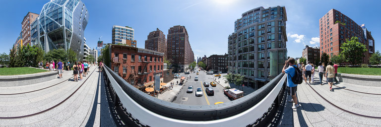
360° panorama by Johan Offermans & Karl Overholt.
Click the image to open the interactive version.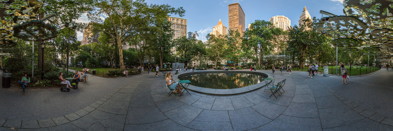
Madison Square park is a 6.2 acre, 2.5 hectare, park in Manhattan, New York City. It is bounted on the east by Madison Avenue, on the south by 23rd street, on the North by 26th street and on the West by Broadway and Fifth Avenue.The park is a pleasant and popular oasis of greenery in Manhattan and is surrounded by famous buildings. In the NorthEast area of this photo, you can see the New York Life building with the golden pyramid at the top, with next to it the Merchandise Mart Building, the tall building and to the right of that the Metropolitan Life North building and the Metropolitan Life tower. In between the trees, you can see a bit of the Manhattan appalate court house.If you would like to explore the area further, I recommend wikimapia which lists a lot of informatoin about the buildings around the park.
Posted in 360 Panoramas, Locations, New York City, USA |